San Jacinto Aerial
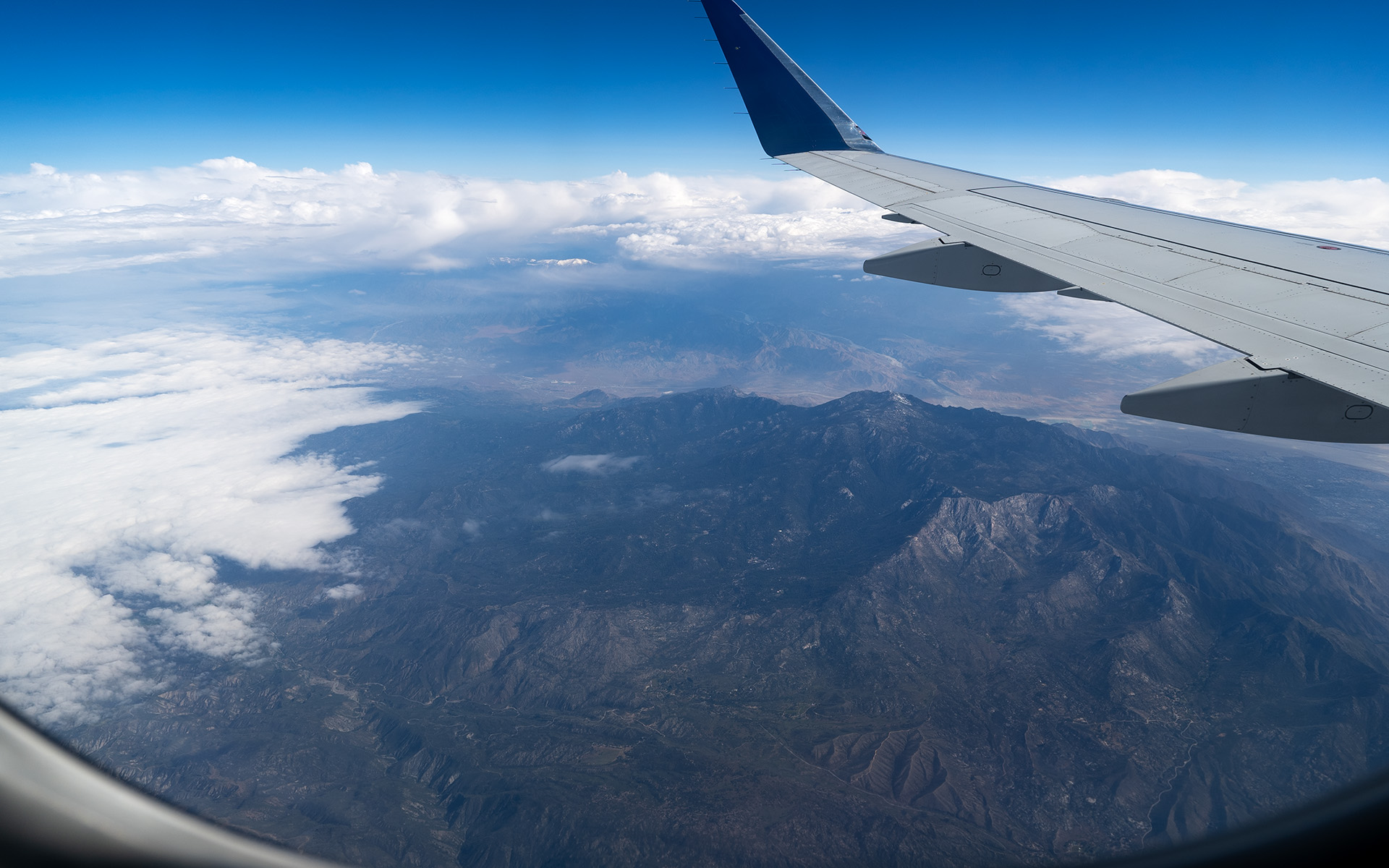
Here's a still-snowy San Gorgonio Mountain photobombing a mostly-dry San Jacinto Peak, as seen Wednesday on the way from LAX to Phoenix, Arizona.
This shot really gives a good sense of how compact the San Jacintos are. They're just one mighty column of granite shooting up 11,000 vertical feet over Coachella Valley—a classic "Island in the Sky" mountain landscape.
— May 18, 2024
Andy Lewicky is the author and creator of SierraDescents
Charles May 19, 2024 at 1:34 pm
Great pic! So tempted to come down from Bay Area to ski it.... :)
But the East Side beckons as well. (?)
Been enjoying your posts all spring, great writing and camera work as usual, thanks!!