Around the Peaks
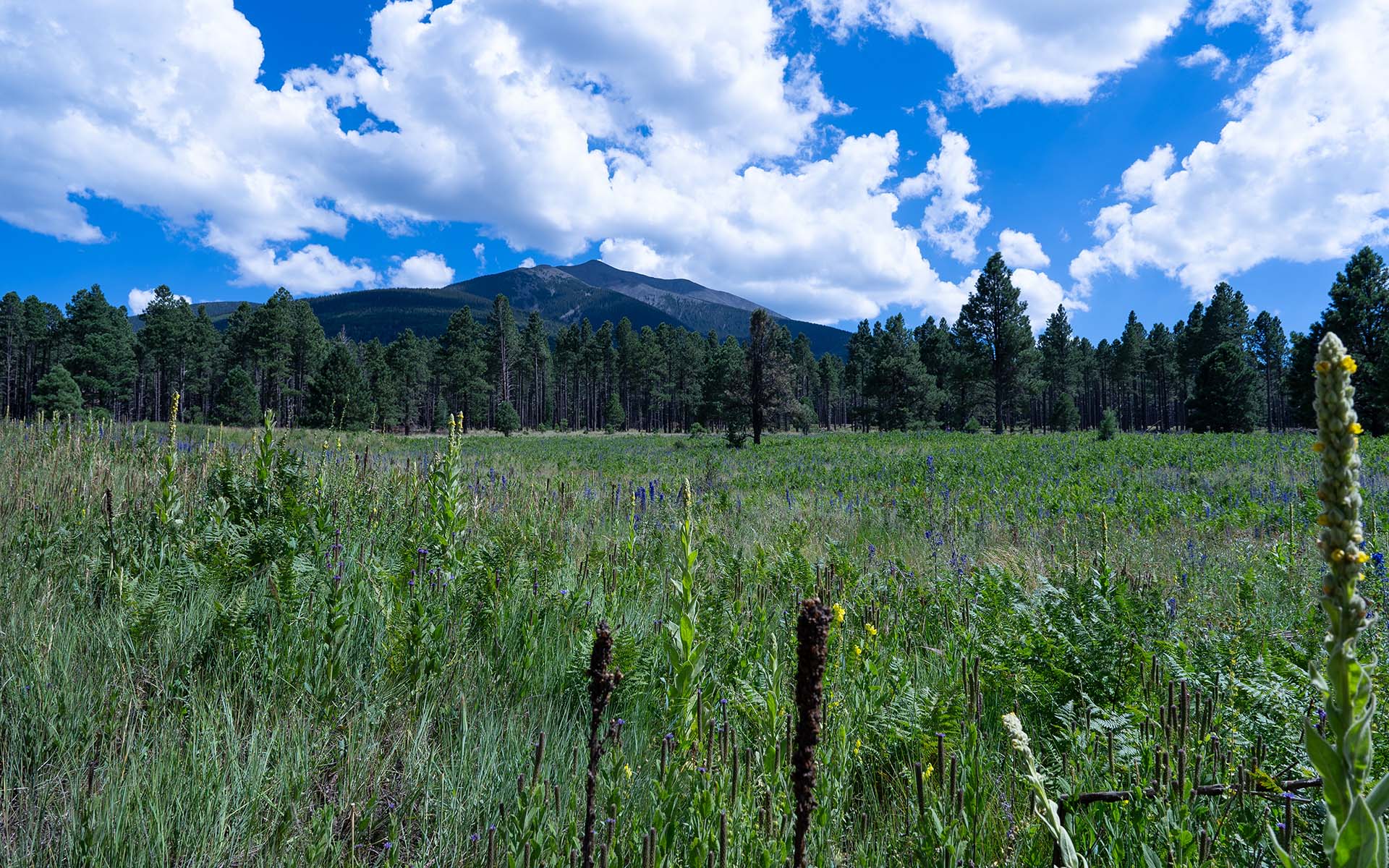
I don't tend to think of Northern Arizona's San Francisco Peaks as a large mountain, but I can tell you they seem to get quite a bit bigger when you try to bicycle all the way around them.
In its standard form, Around the Peaks is a 50-mile mountain bike epic involving nearly 5000 vertical feet of climbing.
I wanted to try riding around the Peaks, but those numbers seemed a bit daunting, so I decided to shave a little distance and vertical off the standard MTB Project route by staying higher. In practice, I'm not sure if that worked out to be easier, but here are my notes on the ride:
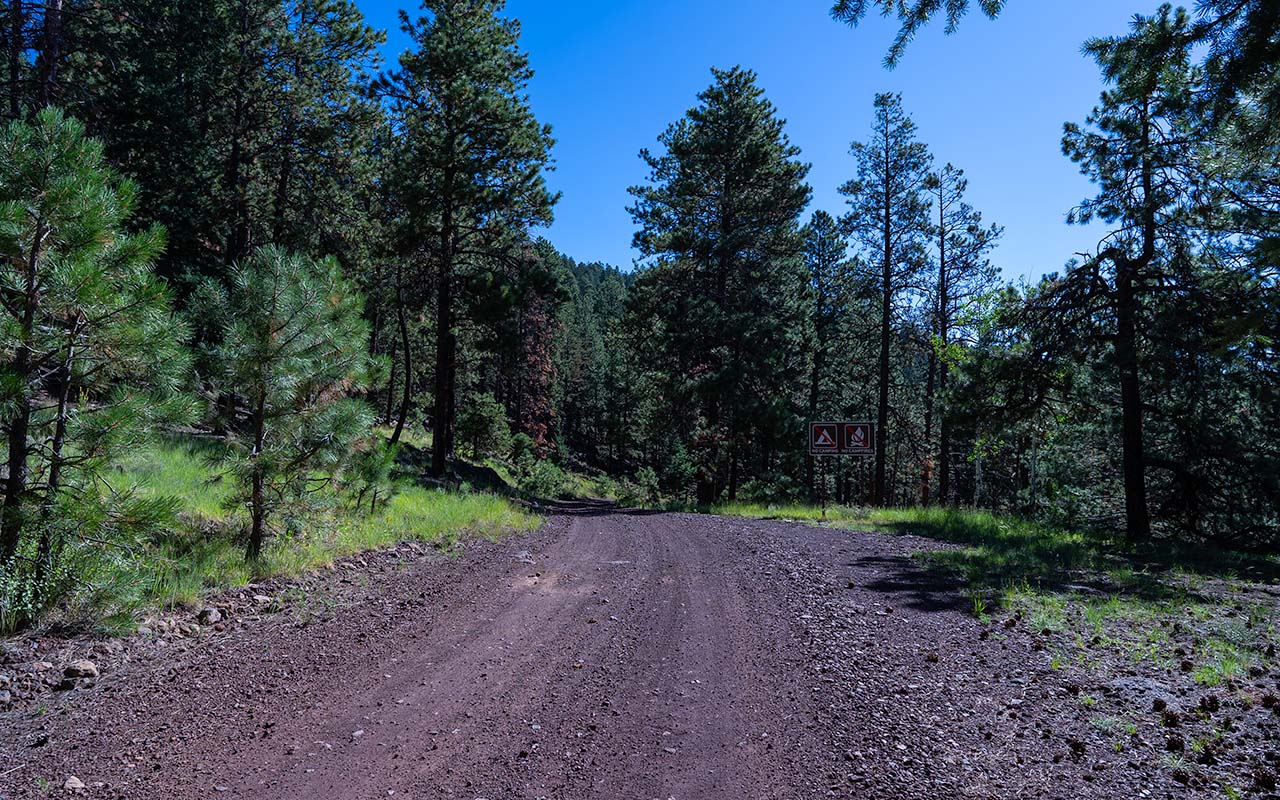
I started at the junction of Snow Bowl Road & Freidlein Prairie Road, elevation 7920', which is almost a thousand feet higher than the Shultz Creek trailhead.
As per MTB's recommendation, I rode counter-clockwise (east), so this portion of the route is a long but gentle climb.
Freidlein Prarie Road is initially very rocky, but don't let that scare you—it does smooth out, making for an enjoyable traverse across the mountain's south face. Eventually you'll reach a parking lot at 8625'.
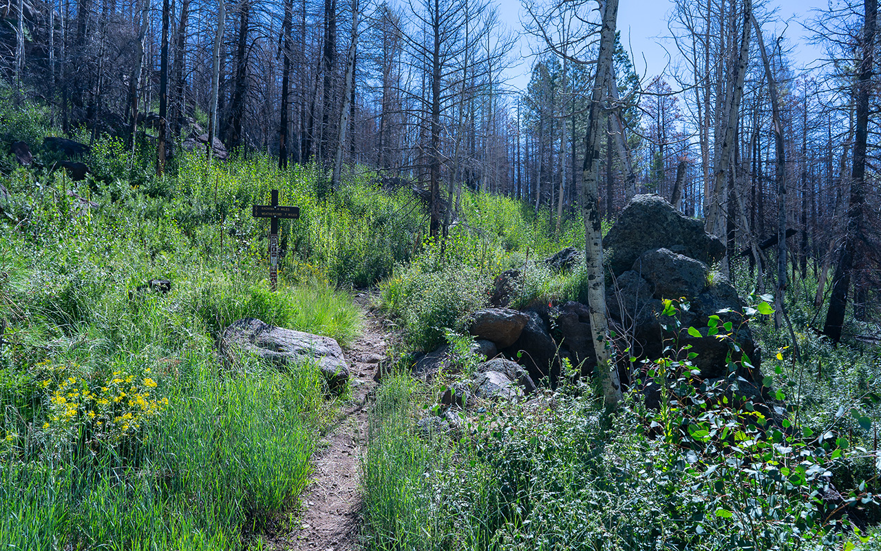
Motor vehicles must stop here, but you can continue on the remains of the original jeep trail, grinding your way up until you reach Weatherford Trail, elevation 8863'.
If you go left, Weatherford Trail ascends Weatherford Canyon; hang a right instead for a long and rocky descent down to Pipeline Road, elevation 8090'. Head northeast on this for a quarter mile, then go left and begin ascending Waterline Road.
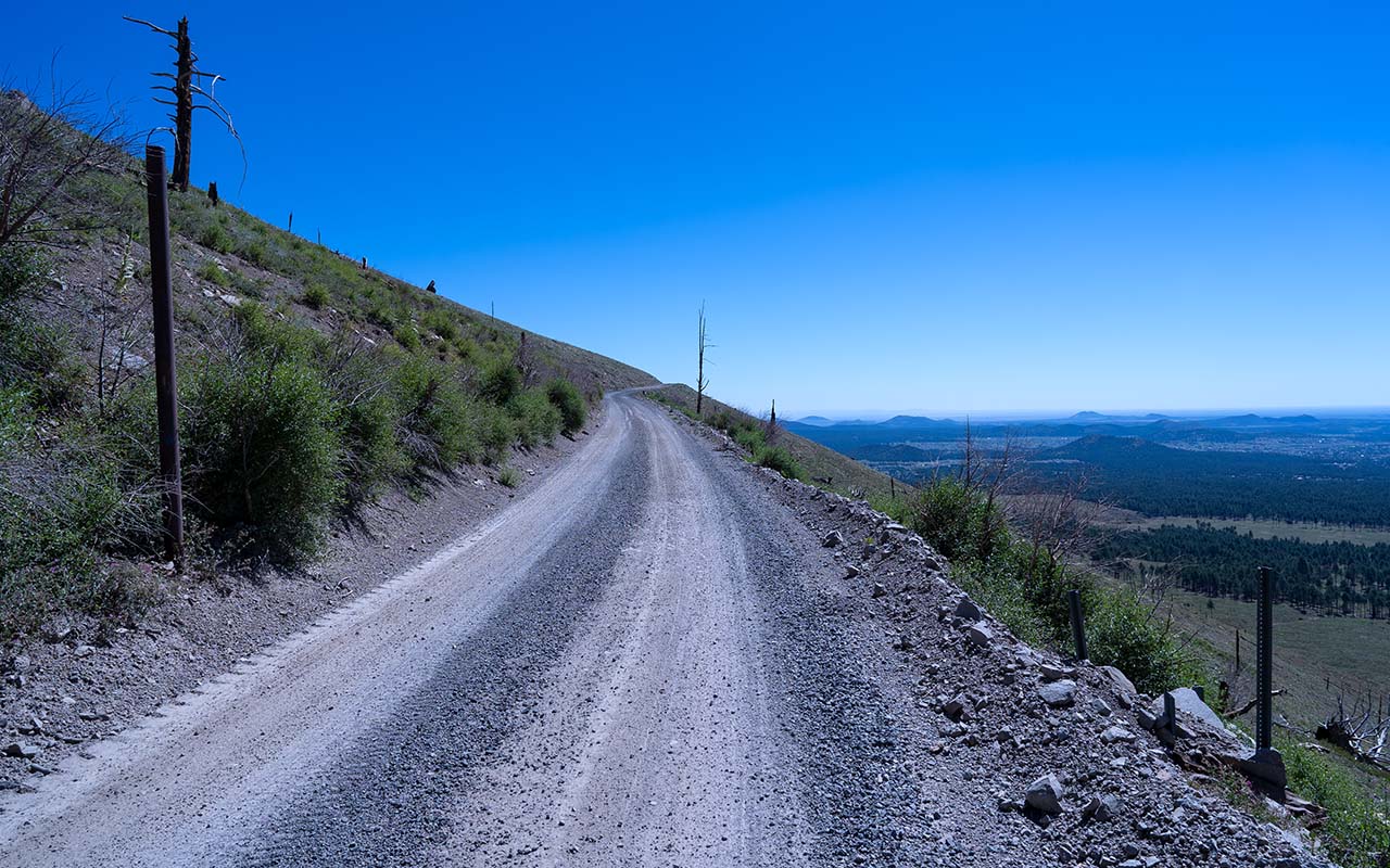
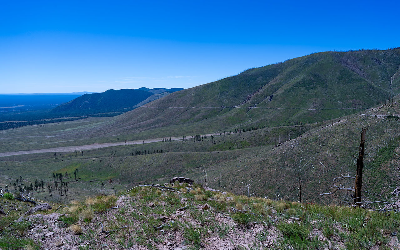
Waterline Road was built in 1898 by the City of Flagstaff to pipe water from the Peaks' Inner Basin to town.
As you'd expect, you get a marvelously consistent and gentle grade as you now wrap around the Peaks' eastside—but the big story here is the devastation caused by the 2010 Shultz Fire and the subsequent 2022 Tunnel and Pipeline Fires.
What was once lush and verdant forest is now a denuded and surreal landscape that answers the question, "What happens if you abruptly remove all a mountain's trees?"
Gaze ye mighty and despair, for this might one day be the fate of all the Peaks' forests—but while you're ruminating don't forget to marvel at the stunning vistas now visible thanks to the burn scar, including East Flagstaff, Mount Elden, and the vast surrounding San Francisco Volcanic Field.
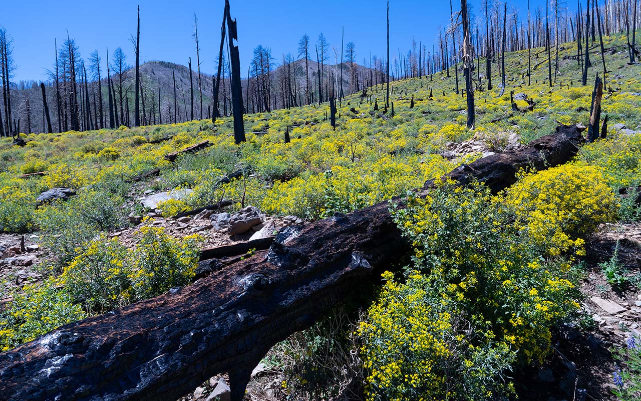
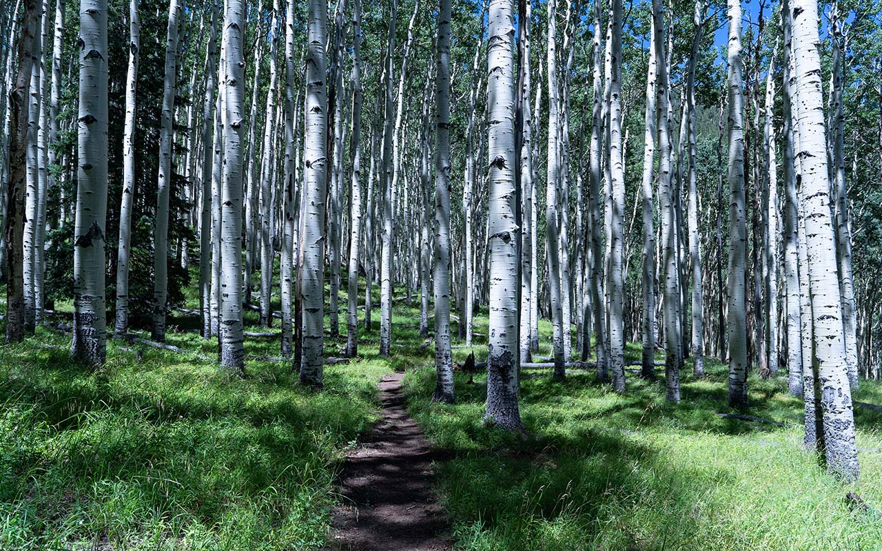
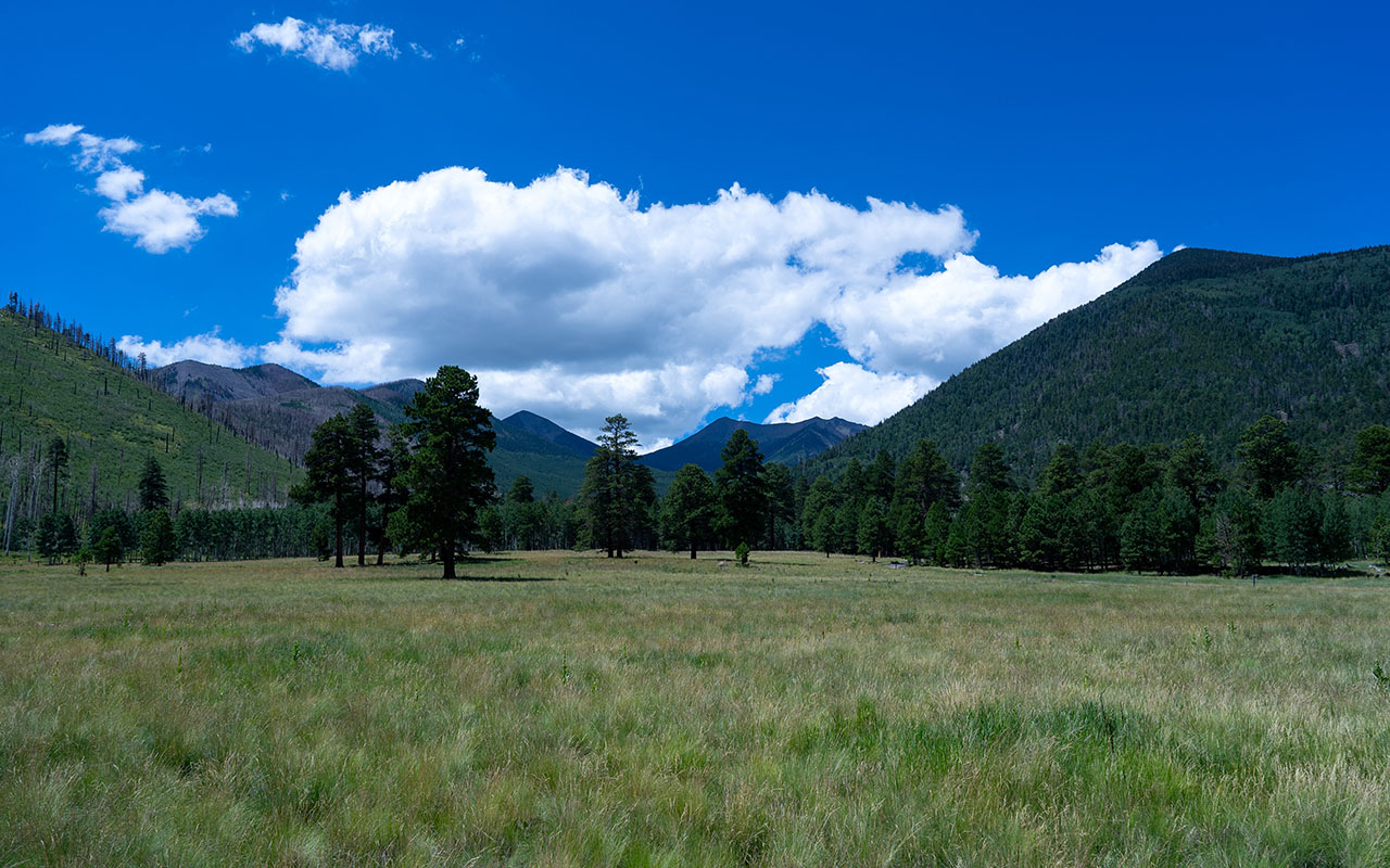
Climb, climb, climb, and eventually you'll see a bit of life returning on protected north aspects, where what looks like scrubby Aspens are emerging.
At 9251' you'll finally reach the boundary of the burn scar and the rim of the Inner Basin. Here, you get a bit of a choice. You can take a quick (and steep!) fire road descent down to Lockett Meadow, or you can continue climbing gently into Inner Basin for an eventual singletrack descent.
There's no question which is the more scenic choice, but this may be a good moment to remember you're not yet even at the halfway point of your journey.
I went into Inner Basin on the recommendation of two Flagstaff riders I ran into on Waterline Road. They correctly pointed out the additional climbing was modest but failed to mention the Inner Basin Trail is pretty damn ratty on a hardtail.
Never trust Flagstaff mountain bikers, I always say—especially if they're riding fat tires and full suspensions. Whichever way you go, you'll eventually follow Locket Meadow Road for a screaming downhill to the base of the Peaks' northeast corner and forest road 418, elevation 7599'.
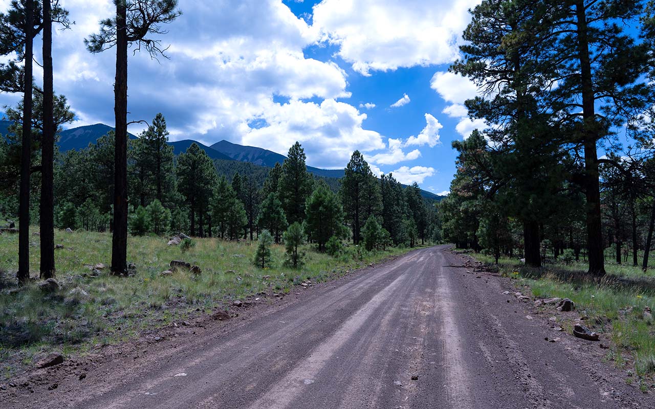
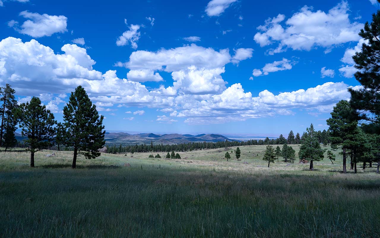
Turn left on FR 418 and say hello—you'll be spending quite a lot of time together as you work your way around and along the mountain's north side.
This is the dig-deep section of the ride, thanks to persistent uphill grades and (likely) head winds.
At least the views are nice!
Your fire road-extravaganza finally comes to an end at the junction of FR-418 and the Arizona Trail (el 8283'); turn left and breathe a big sigh of relief.
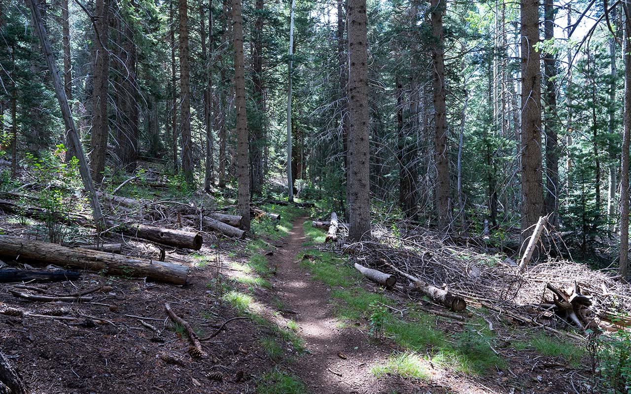
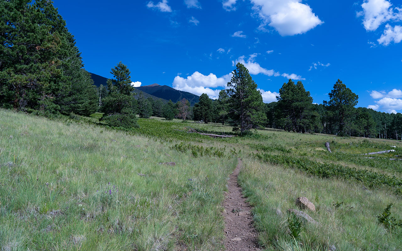
There's yet more climbing ahead, but at bike-friendly angles. This segment of the Arizona Trail is a near-perfect meander through the lush forests, glades, and meadows along the mountain's west side.
Eventually the trail gets you to Aspen Corner, elevation 8940', and the Snow Bowl Road. You can blaze down the paved road to get back to your car, or if you're crazy, stay on the Arizona Trail for a singletrack descent that will eventually rejoin the Snow Bowl Road below where you parked.
That's it—you've circumnavigated the Peaks!
In retrospect this a giant ride no matter how you do it, so take lots of water and food. You might even consider caching supplies around the halfway mark.
For all but the most hardcore riders, this would probably be more enjoyable taken in parts rather than as a whole. An obvious choice would be to get dropped off at the base of Locket Meadow Road, ride up to Waterline Road, and then scream all the way down to Shultz Pass Road and the Shultz Trailhead.
For the north and west segments, get dropped off at Aspen Corner, ride northwest down the Arizona Trail to forest road 418 to Locket Meadow Road and (hopefully) your car shuttle home.
If I were to do the whole thing over again, I'd probably try it in the opposite direction—clockwise—which might be a little bit easier. :)
— August 26, 2024
Andy Lewicky is the author and creator of SierraDescents