SierraDescents | Category | Current Conditions
March 1, 2026
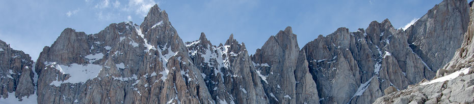
It’s Hard to Keep Up

In so many ways, it is hard to keep up with the pace of change right now. A week ago we had mountains buried in snow across Southern California; now we have a staggering February (more)
January 19, 2026
January, in Brief

The big news would be the destruction of Highway 2, which cruelly brings to an end 2025's three-month Socal backcountry skiing miracle: drive-up access to snow. I haven't seen (more)
December 22, 2025
A Lot of Water

Lot of water on the way—I expect we'll see something similar to the previous storm cycles, which means not a lot of snow at SoCal resort levels but tons above 8K or (more)
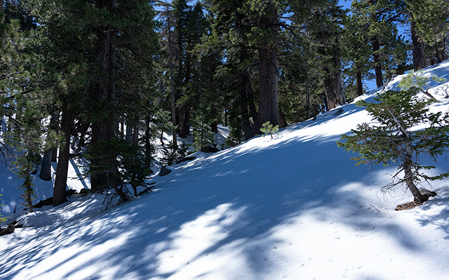
December 9, 2025
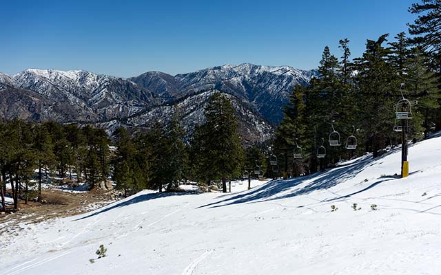
Mountain High

While my friends and I continue to find scattered patches of wintery snow here and there in our top-secret skiing stashes, conditions appear to have reverted to the more familiar (more)
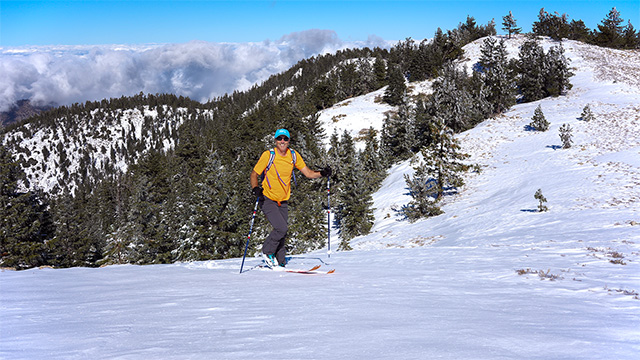
November 20, 2025
November Throop

The saga continues: this week's storm dropped copious amounts of moisture on our local mountains, and, above 8000 feet, at least temporarily brought things back into the "skiable" (more)
October 20, 2025
Throoping in October
The one and only Al Preston talked me into leaving my sofa for Throop Peak today, and unlike last week's Pinos foray, there's real skiing to be had in the San Gabriels. First, (more)
October 15, 2025
Yes Virginia, There Is A Santa Claus
If I were making a list of things I never expect to do, skiing the SoCal backcountry in October would be close to the top. Well, scratch that one off the list! Here's Mount (more)
May 12, 2025
Point Mugu Flowers
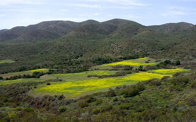
For me it is definitely a strange and bittersweet wildflower season compared to years past, but there are flowers out there if you're willing to look for them. This is La Jolla (more)
March 9, 2025
Waterman: Very Thin
I was expecting thin coverage at the base of Waterman, but the big surprise was how little snow there was around 8000'. It was barely skiable at the base of the mountain today, (more)
March 7, 2025
Snow & More On The Way
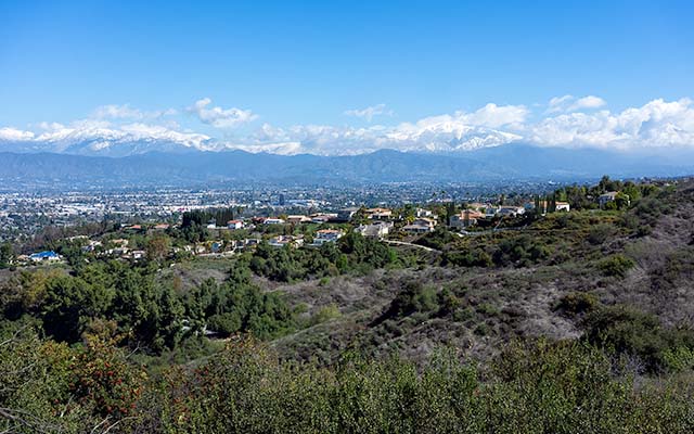
With snow "out there somewhere" and my long lens now long gone, I decided to look for a new city-mountain vantage point, which led me to Puente Hills and then the (more)
PAGE 1 | MORE